About this place
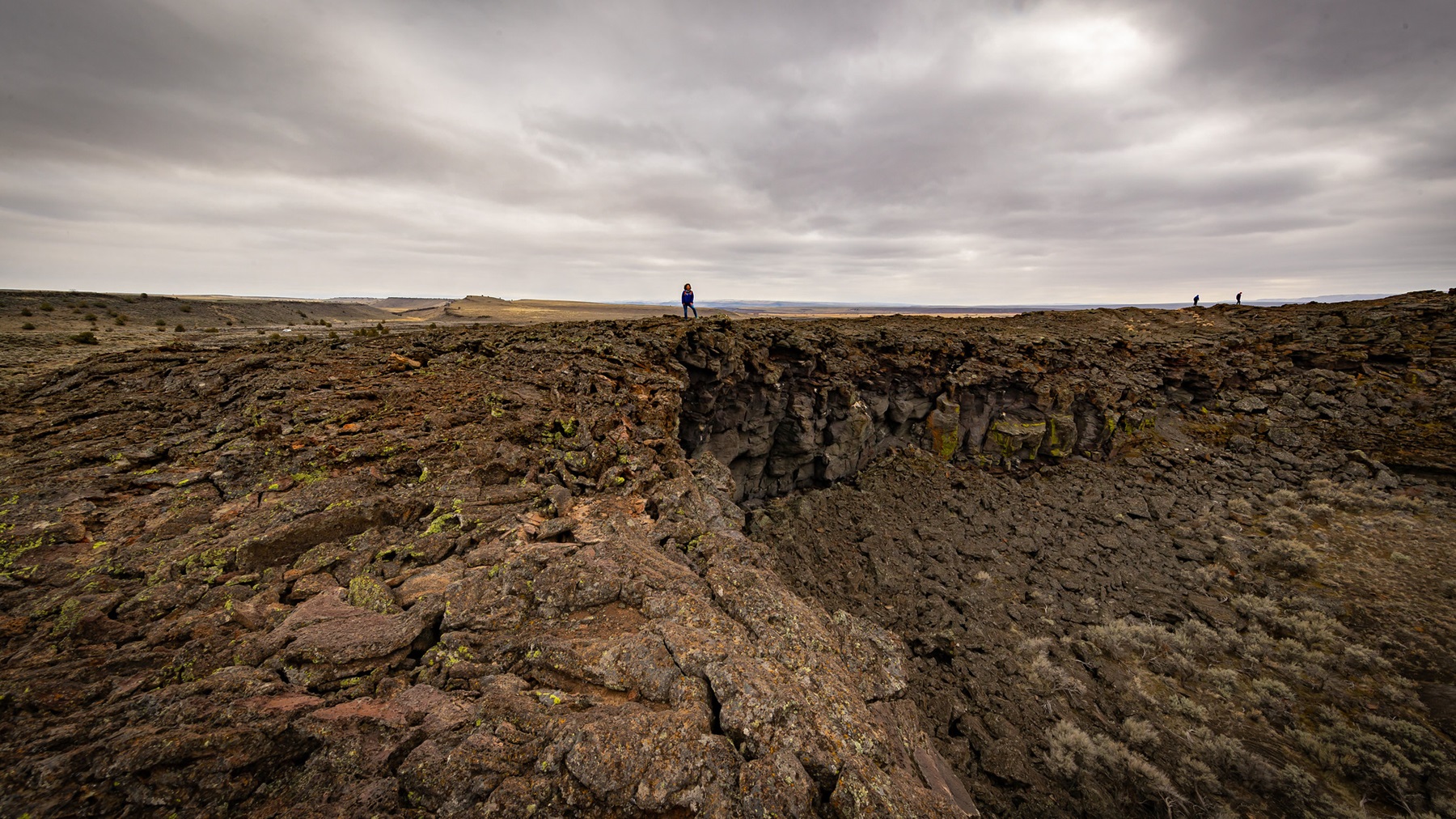
This is seventeen thousand acres of volcanic ground in the high desert of southeast Oregon. About twenty-three square miles. The size isn't what makes it unusual. Basalt erupts in a lot of different ways. Almost every one of them happened here, close enough together that you can walk between them in an afternoon. Anywhere else you'd be driving for days to see this much.
It has been building for 25,000 years. What it left is low and wide, something like a thin rocky pancake with a few lumps in it.
Look for craters and vents, cinder cones, spatter cones, lava tubes and driblet spires. There's a graben as well, a slab of ground that has dropped between two faults. And a maar, a wide shallow crater that has filled with water.
Before you go
- Thousands of years to build, seconds to damage. Leave the plants, the animals and the rocks where they are.
- No toilets. No facilities of any kind. Bring your own water and shade, and take everything home again.
- Keep the vehicle on the hard-packed surface and in the obvious parking areas. Tracks made off it are still visible years later.
The facts
- Cost
- Free to camp
- Roads around it
- Keep to the hard-packed road surfaces and the obvious parking areas
- Drinking water
- No, bring your own
- Toilet
- No. There are no restrooms or other amenities
- Type
- Specific campsite
- Managed by
- Bureau of Land Management
Getting there
The way in starts at Burns.
- Take State Highway 78 southeast for about 2 miles.
- Turn right onto State Highway 205 and head south for 46 miles, as far as Diamond Junction.
- Turn left at the junction and carry on about 6 miles, to where Lava Bed Road meets Happy Valley Road.
- Turn left onto Lava Bed Road. That road takes you in.
Coordinates 43.077618, -118.750102
Open in Google Maps Agency page
What is near here
A few more of our own spots are within reach of this one, along with some better-known places.
- Malheur National Wildlife Refuge Directions
- Malheur Lake Directions
- Donner und Blitzen Wild and Scenic River Directions
- Kiger Creek Wild and Scenic River Directions
- Wildhorse Creek Wild and Scenic River Directions
Every distance on this page is the driving distance. A short distance can still take a long time. The road may be closed for the season, covered in snow, or washed out. Many of these roads are dirt. Plan your route before you leave home. Out here there is often no phone signal to look it up on the way.
Nearest town and supplies
- Crane, OR Directions
- Hines, OR Directions
Hines is big enough that you’d normally expect fuel and somewhere to buy food. Nobody from here has been to check, so don’t count on it if you’re running low.
Have you been here?
Fees and access change, and the records do not always keep up. If you have been, tell us what you found.
Thank you, that is recorded. It helps the next person.
Add road notes for this site
The thing we cannot get from any government record is what the drive in is actually like. If you have done it, this is the most useful thing you can leave behind. We read everything before it appears, and we print a first name with it if you give one.
Thank you. A person will read it before it goes on the page.
Where this information comes from
The description on this page is ours. The facts in it, and the fee and facility details below it, come from the Bureau of Land Management’s own records, read in August 2026.