About this place
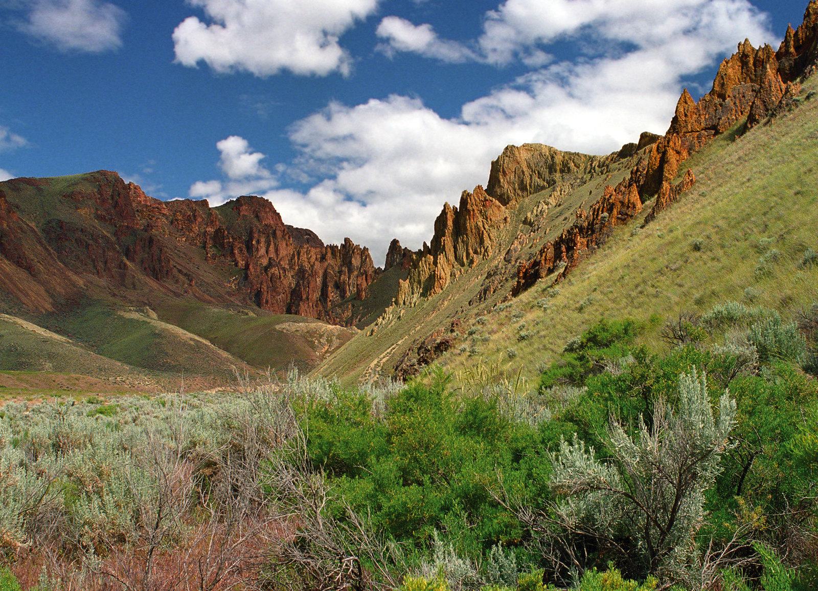
Towering cliffs in desert colors, and honeycombed rock sculpted over millions of years. That is the landscape of this remote place.
The soils here are unusual, and they support several rare plants. Two of them grow nowhere but the Leslie Gulch Drainage.
Mule deer, California bighorn sheep, Rocky Mountain elk, coyotes and bobcats all live here, and birders can look for chukar, raptors and California quail.
The area runs to 11,000 acres.
The geology and the wildlife make this a fine place to camp and get away from everything.
Camping and fires are limited to the Slocum Creek Campground. You can stay 14 days.
You may not backpack overnight, and horses are not allowed inside the Area of Critical Environmental Concern.
Vehicles stay on the existing roads and parking areas.
Do not collect plants, rocks or firewood.
There is no drinking water. There are toilets.
Flash floods, wet roads and winter weather can make the road impassable, so a high clearance vehicle is a good idea. Large recreational vehicles are not recommended.
The Leslie Gulch Tuff makes up most of the volcanic formations. More than 200 California bighorn sheep live here, put back in 1965.
The facts
- Cost
- Camping fee not confirmed
- Roads around it
- High clearance advised. Flash floods, wet roads or winter can make it impassable
- Stay limit
- Maximum stay is 14 days.
- Drinking water
- No, bring your own
- Toilet
- Yes
- Type
- Set campsites. Camping is limited to Slocum Creek Campground
- Managed by
- Bureau of Land Management
Getting there
Leslie Gulch sits east of the Owyhee Reservoir, in Malheur County, Oregon. From Highway 95 in Idaho, go west 8 miles on McBride Creek Road to Rockville. Then 1 mile north to Leslie Gulch Road, and 15 miles west. You can also reach the Leslie Gulch Road junction along Succor Creek Road, off either OR-201 or US-95.
Coordinates 43.29852, -117.27071
Open in Google Maps Agency page
What is near here
Nothing nationally famous is close. These are the landmarks nearby.
- Mahogany Mountain Directions
- Jordan Craters Directions
Every distance on this page is the driving distance. A short distance can still take a long time. The road may be closed for the season, covered in snow, or washed out. Many of these roads are dirt. Plan your route before you leave home. Out here there is often no phone signal to look it up on the way.
Nearest town and supplies
- Jordan Valley, OR Directions
- Homedale, ID Directions
Homedale is big enough that you’d normally expect fuel and somewhere to buy food. Nobody from here has been to check, so don’t count on it if you’re running low.
Have you been here?
Fees and access change, and the records do not always keep up. If you have been, tell us what you found.
Thank you, that is recorded. It helps the next person.
Add road notes for this site
The thing we cannot get from any government record is what the drive in is actually like. If you have done it, this is the most useful thing you can leave behind. We read everything before it appears, and we print a first name with it if you give one.
Thank you. A person will read it before it goes on the page.
Where this information comes from
The description on this page is ours. The facts in it, and the fee and facility details below it, come from the Bureau of Land Management’s own records, read in August 2026.