About this place
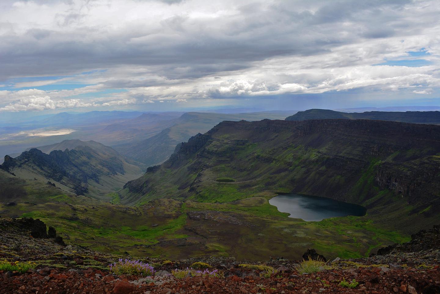
The walk down to Wildhorse Lake starts below the Steens Mountain rim and goes downhill first. The climb is on the way back, when you are tired.
The headwaters of Little Wildhorse Creek carry two protective labels: Research Natural Area and Area of Critical Environmental Concern.
Both are there for the same reason. There is a lake up here, high on the mountain, and a whole living system around it that scientists want kept intact for study.
Above the point where Wildhorse and Little Wildhorse Creeks meet, the plant communities are unusual and worth a close look.
California bighorn sheep live along both creeks, from the headwaters right down to the canyon mouths, and plenty of other animals with them.
Pika turn up at the higher elevations.
Little Wildhorse Creek has excellent habitat along its banks up high.
Wildhorse and Little Wildhorse Lakes give you high pools that fill in spring, talus and cliffs, willows and the upland plants next to them. Between them that is a lot of different homes for wildlife.
Bring all the water and food you need for the whole trip. Do not drink from a water source nobody has tested.
Ticks, mosquitoes and rattlesnakes turn up in places, through spring and summer.
The mountain is high, so the temperature changes fast. Blustery 100-degree days are common, and snow can fall in any month.
Be ready for a sudden lightning storm, for snow, for rain and for high wind.
Services are a long way apart. That means gas stations, phones and cell phone reception.
Tell somebody at home where you are going and when you will be back. Do not rely on a phone signal in an emergency.
Set off with a full tank every time. Call ahead to ask about fuel in the Steens Mountain area.
Fuel is sometimes available in Fields, Frenchglen, Crane or the Narrows.
The ground is rough. Deep canyons and rocky slopes come with mountain country like this.
The elevation can go from under 4,000 feet to over 9,000 feet in the space of a few miles.
On the primitive roads you want high clearance or four-wheel drive. The steep, rocky stretch of the Steens Mountain Loop Road by South Steens Campground is one of those.
The rest of that loop road will take a passenger car at low speed. Good tires matter everywhere here, even on the maintained routes.
Much of southeast Oregon is open range. Drive carefully and expect to share the road with cattle, deer, elk, antelope, wild horses and rabbits.
This country is remote and vast. Even experienced travelers get confused out here, or plain lost.
Carry a current map of the area. It is not optional.
Talk to people. Landowners and federal staff are usually around, and they are glad to hand out information.
The facts
- Cost
- Free to camp
- Roads around it
- High clearance or four-wheel drive on the primitive roads. The rest of the loop road takes a passenger car slowly
- Drinking water
- No, bring your own. Do not drink from untested sources
- Phone signal
- Do not rely on it. Services and reception are a long way apart
- Type
- Open area. Camp anywhere within it
- Managed by
- Bureau of Land Management
Getting there
A trail runs down to Wildhorse Lake from the Wildhorse Lake Overlook. The overlook is just off the Steens Mountain Loop Road, near the summit.
Coordinates 42.63039, -118.58771
Open in Google Maps Agency page
What is near here
A few more of our own spots are within reach of this one, along with some better-known places.
- Steens Mountain Directions
- Kiger Creek Wild and Scenic River Directions
- Donner und Blitzen Wild and Scenic River Directions
- Diamond Craters Directions
- Borax Lake Directions
Every distance on this page is the driving distance. A short distance can still take a long time. The road may be closed for the season, covered in snow, or washed out. Many of these roads are dirt. Plan your route before you leave home. Out here there is often no phone signal to look it up on the way.
Nearest town and supplies
- Fields, OR Directions
- Hines, OR Directions
Hines is big enough that you’d normally expect fuel and somewhere to buy food. Nobody from here has been to check, so don’t count on it if you’re running low.
Have you been here?
Fees and access change, and the records do not always keep up. If you have been, tell us what you found.
Thank you, that is recorded. It helps the next person.
Add road notes for this site
The thing we cannot get from any government record is what the drive in is actually like. If you have done it, this is the most useful thing you can leave behind. We read everything before it appears, and we print a first name with it if you give one.
Thank you. A person will read it before it goes on the page.
Where this information comes from
The description on this page is ours. The facts in it, and the fee and facility details below it, come from the Bureau of Land Management’s own records, read in August 2026.