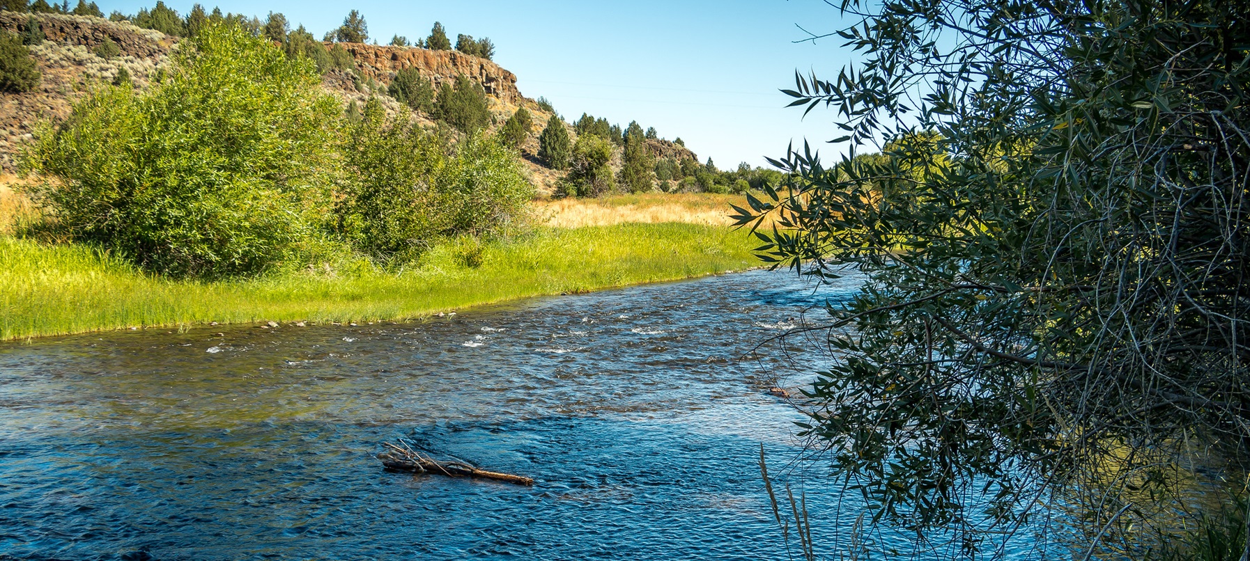
About this place
The Donner und Blitzen and the creeks feeding it add up to nearly 88 miles of rugged waterway.
The main river was protected in 1988, along with Big and Little Indian Creeks, Fish Creek, the South Fork and the Little Blitzen River.
More tributaries went on the list in 2000, among them parts of Mud and Ankle Creeks.
People come here to hunt, fish, camp, backpack and ride horses.
There are four developed campgrounds nearby: Page Springs, Fish Lake, Jackman Park and South Steens. Any of them makes a good base for heading out into the backcountry.
There is a story behind the name. In 1860 the U.S. Army sent Major Enoch Steen to find out whether a road could be built from southeastern Oregon to the Willamette Valley.
His party put names on a lot of the landscape, Steens Mountain among them.
Four years later Captain George B. Curry and his men had to cross a river on the west slope of the Steens in the middle of a thunderstorm.
He called it Donner und Blitzen. That is German for thunder and lightning.
Bring all the water and food you need for the whole trip. Do not drink from a water source nobody has tested.
Ticks, mosquitoes and rattlesnakes turn up in places, through spring and summer.
The mountain is high, so the temperature changes fast. Blustery 100-degree days are common, and snow can fall in any month.
Be ready for a sudden lightning storm, for snow, for rain and for high wind.
Services are a long way apart. That means gas stations, phones and cell phone reception.
Tell somebody at home where you are going and when you will be back. Do not rely on a phone signal in an emergency.
Set off with a full tank every time. Call ahead to ask about fuel in the Steens Mountain area.
Fuel is sometimes available in Fields, Frenchglen, Crane or the Narrows.
The ground is rough. Deep canyons and rocky slopes come with mountain country like this.
The elevation can go from under 4,000 feet to over 9,000 feet in the space of a few miles.
On the primitive roads you want high clearance or four-wheel drive. The steep, rocky stretch of the Steens Mountain Loop Road by South Steens Campground is one of those.
The rest of that loop road will take a passenger car at low speed. Good tires matter everywhere here, even on the maintained routes.
Much of southeast Oregon is open range. Drive carefully and expect to share the road with cattle, deer, elk, antelope, wild horses and rabbits.
This country is remote and vast. Even experienced travelers get confused out here, or plain lost.
Carry a current map of the area. It is not optional.
Talk to people. Landowners and federal staff are usually around, and they are glad to hand out information.
On public land, leave no trace of yourself behind.
The facts
- Cost
- Free to camp
- Roads around it
- High clearance or four-wheel drive on the primitive roads. The rest of the loop road takes a passenger car slowly
- Stay limit
- 14 days
- Drinking water
- No, bring your own. Do not drink from untested sources
- Phone signal
- Do not rely on it. Services and reception are a long way apart
- Type
- Open area. Camp anywhere within it
- Managed by
- Bureau of Land Management
Getting there
Start at Burns. State Highway 78 runs southeast for about 2 miles. Turn right there onto State Highway 205, and follow it 60 miles south to Frenchglen. Just beyond Frenchglen, take the Steens Mountain Loop Road on your left. About 3 miles along it, turn right into Page Springs Campground, just across the Donner und Blitzen River.
Coordinates 42.68529, -118.81474
Open in Google Maps Agency page
What is near here
A few more of our own spots are within reach of this one, along with some better-known places.
- Wildhorse Creek Wild and Scenic River Directions
- Steens Mountain Directions
- Kiger Creek Wild and Scenic River Directions
- Diamond Craters Directions
- Borax Lake Directions
Every distance on this page is the driving distance. A short distance can still take a long time. The road may be closed for the season, covered in snow, or washed out. Many of these roads are dirt. Plan your route before you leave home. Out here there is often no phone signal to look it up on the way.
Nearest town and supplies
- Fields, OR Directions
- Hines, OR Directions
Hines is big enough that you’d normally expect fuel and somewhere to buy food. Nobody from here has been to check, so don’t count on it if you’re running low.
Have you been here?
Fees and access change, and the records do not always keep up. If you have been, tell us what you found.
Thank you, that is recorded. It helps the next person.
Add road notes for this site
The thing we cannot get from any government record is what the drive in is actually like. If you have done it, this is the most useful thing you can leave behind. We read everything before it appears, and we print a first name with it if you give one.
Thank you. A person will read it before it goes on the page.
Where this information comes from
The description on this page is ours. The facts in it, and the fee and facility details below it, come from the Bureau of Land Management’s own records, read in August 2026.