About this place
Oregon made the Deschutes a Scenic Waterway in 1970. The federal government made it a Wild and Scenic River in 1988.
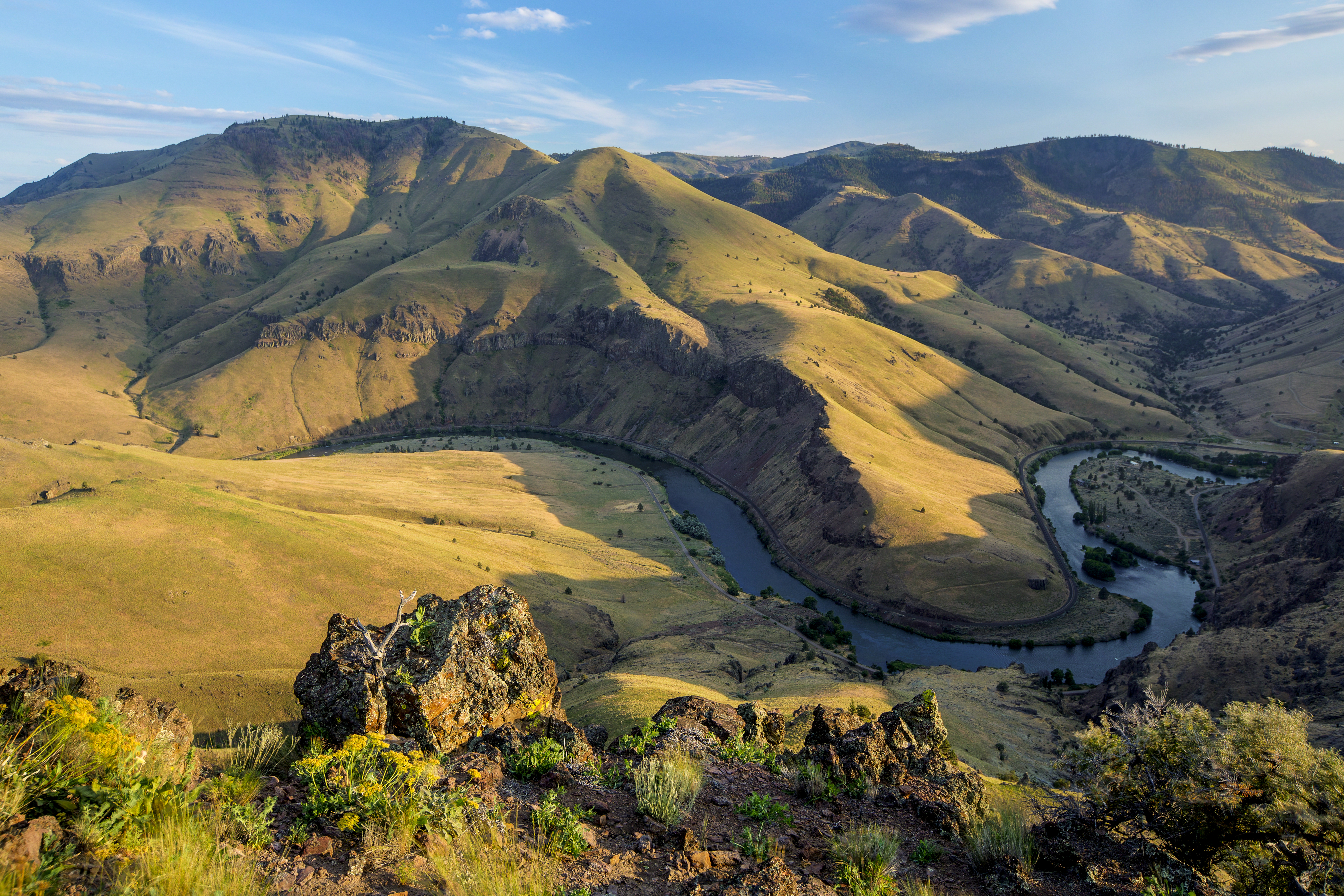
The river runs through a deep canyon lined with rimrock. Depending where you stand, the walls are anywhere from 900 feet to 2,600 feet high.
It starts at 1,393 feet at the Pelton Reregulation Dam and finishes at 160 feet where it meets the Columbia.
The average fall is 13 feet a mile, and it stays close to that the whole way down.
Two places break the pattern. Sherars Falls, at River Mile 44, drops 15 feet straight down. Whitehorse Rapids, at River Mile 75, drops somewhere around 35 to 40 feet across a single mile.
Inside the canyon there is a great deal of geology and human history to look at, and the fish, animals and plants are varied.
Thousands of people come every year for the fishing, the whitewater and the scenery. You can do a day on it or several.
People boat here, fish, hunt, mountain bike and walk.
There are sixteen developed campgrounds along the river, all first come, first served, and seven day-use areas.
A long stretch of the Lower Deschutes Access Road near Maupin is also a back country byway. The views down into the basalt canyon from that road are the reason to drive it.
On public land, leave no trace of yourself behind.
The facts
- Cost
- Free to camp, but there is another fee here
- Stay limit
- 14 days
- Type
- Open area. Camp anywhere within it
- Managed by
- Bureau of Land Management
Rules and restrictions
- No campfires and no charcoal fires between June 1 and October 15. The fire danger here is too high for them.
- Propane stoves, white gas stoves and shielded lanterns are allowed.
- Smoke only inside a closed vehicle, standing in the water, or in a boat on the water.
- Fireworks are banned all year. That covers carrying them as well as setting them off.
- The closure covers the whole river corridor, from Pelton Dam down to the Columbia River.
Getting there
The Deschutes runs north through Central Oregon and joins the Columbia River east of The Dalles. You can reach it from U.S. 97, U.S. 197 and U.S. 26.
Coordinates 45.10044, -121.13002
Open in Google Maps Agency page
What is near here
This is a good base for somewhere people travel a long way to see.
- White River Falls State Park Directions
- Mount Hood Directions
- Celilo Falls Directions
Every distance on this page is the driving distance. A short distance can still take a long time. The road may be closed for the season, covered in snow, or washed out. Many of these roads are dirt. Plan your route before you leave home. Out here there is often no phone signal to look it up on the way.
Nearest town and supplies
- Maupin, OR Directions
- Warm Springs, OR Directions
Warm Springs is big enough that you’d normally expect fuel and somewhere to buy food. Nobody from here has been to check, so don’t count on it if you’re running low.
Have you been here?
Fees and access change, and the records do not always keep up. If you have been, tell us what you found.
Thank you, that is recorded. It helps the next person.
Add road notes for this site
The thing we cannot get from any government record is what the drive in is actually like. If you have done it, this is the most useful thing you can leave behind. We read everything before it appears, and we print a first name with it if you give one.
Thank you. A person will read it before it goes on the page.
Where this information comes from
The description on this page is ours. The facts in it, and the fee and facility details below it, come from the Bureau of Land Management’s own records, read in August 2026.