About this place
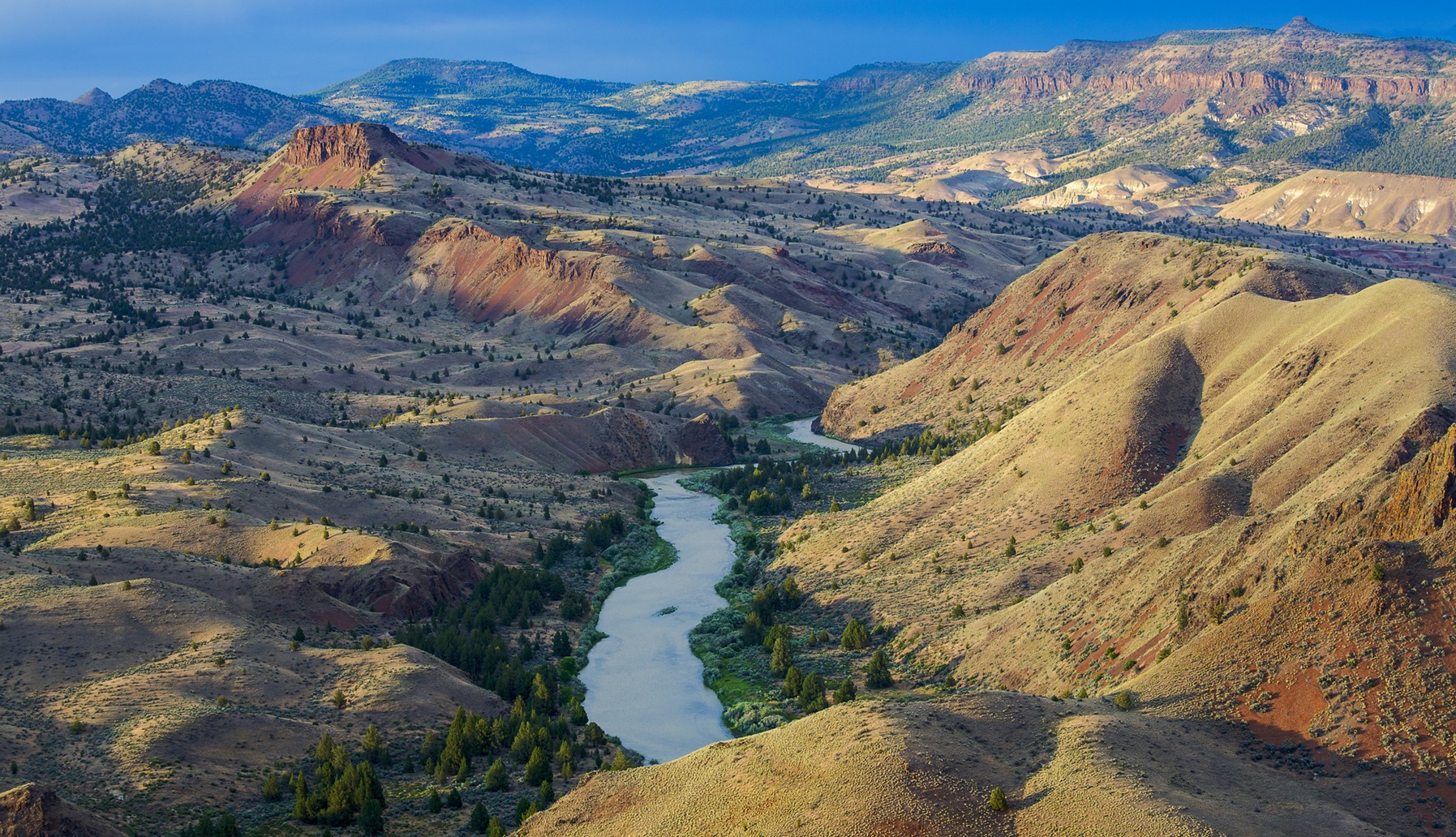
The North Fork of the John Day runs from its headwaters down to Camas Creek. For breeding fish, it is one of the most important rivers in northeast Oregon.
The fish in question live most of their lives in the sea and come back up the river to spawn. Salmon and steelhead work that way.
Along the corridor you may see mule deer, elk and black bears, and there are peregrine falcons and bald eagles overhead. Watch for them.
People come to hunt, fish, sightsee, ride horses, walk, snowmobile, ski, camp and raft the whitewater.
The John Day carries protection under two laws at once. One is federal, the National Wild and Scenic Rivers Act. The other belongs to the state, the Oregon Scenic Waterways Act.
Between them, those two give a river about as much protection as anything on the books today.
This is one of the longest free-flowing rivers left in the continental United States. No dam stands anywhere on it. That makes it the longest undammed tributary of the Columbia.
The facts
- Cost
- Camping fee not confirmed
- Stay limit
- 14 days
- Type
- Open area. Camp anywhere within it
- Managed by
- Bureau of Land Management
Rules and restrictions
- You need an online boating permit all year to boat between Service Creek and Tumwater Falls. Recreation.gov is the only place to get one, for day use and for overnight.
- On an overnight trip, every boater has to carry a leak-proof, reusable, portable toilet and use it. Solid human waste leaves the canyon with you.
- That toilet has to be big enough for your whole party for the whole trip.
- Toilets that use plastic bags are not accepted. The one exception is a Wag Bag, or a similar pouch made for the job.
- Used Wag Bags travel in a leak-proof container. Never put one down a river toilet dump station or a vault toilet.
- There are no river toilet dump stations at the takeouts. In high season there are dumpsters at Clarno and Cottonwood, and the bulletin boards carry a list of RV dump stations.
Getting there
For Service Creek: from Prineville, take US-26 east out of town for 46.5 miles to OR-207 N. Turn left and drive 23.5 miles. Service Creek Campground and boat launch are on the right.
For Clarno: from Prineville, take US-26 north out of town for 30 miles to US-97. Turn right and stay on US-97 for 19.5 miles. Turn right onto OR-293 and go 13.6 miles to OR-218. Turn right again and carry on another 15 miles. The Clarno Boat Launch is on your left, north of the highway.
Coordinates 45.11004, -120.46108
Open in Google Maps Agency page
What is near here
A few more of our own spots are within reach of this one, along with some better-known places.
- Sutton Mountain and Pat's Cabin Wilderness Study Areas Directions
- Sutton Mountain Back Country Byway Directions
- Painted Hills Directions
- Pelton Dam Directions
Every distance on this page is the driving distance. A short distance can still take a long time. The road may be closed for the season, covered in snow, or washed out. Many of these roads are dirt. Plan your route before you leave home. Out here there is often no phone signal to look it up on the way.
Nearest town and supplies
- Fossil, OR Directions
- Warm Springs, OR Directions
Warm Springs is big enough that you’d normally expect fuel and somewhere to buy food. Nobody from here has been to check, so don’t count on it if you’re running low.
Have you been here?
Fees and access change, and the records do not always keep up. If you have been, tell us what you found.
Thank you, that is recorded. It helps the next person.
Add road notes for this site
The thing we cannot get from any government record is what the drive in is actually like. If you have done it, this is the most useful thing you can leave behind. We read everything before it appears, and we print a first name with it if you give one.
Thank you. A person will read it before it goes on the page.
Where this information comes from
The description on this page is ours. The facts in it, and the fee and facility details below it, come from the Bureau of Land Management’s own records, read in August 2026.