About this place
Minutes northwest of Redmond, a deeply cut canyon holds the riffles and rapids of the Middle Deschutes.
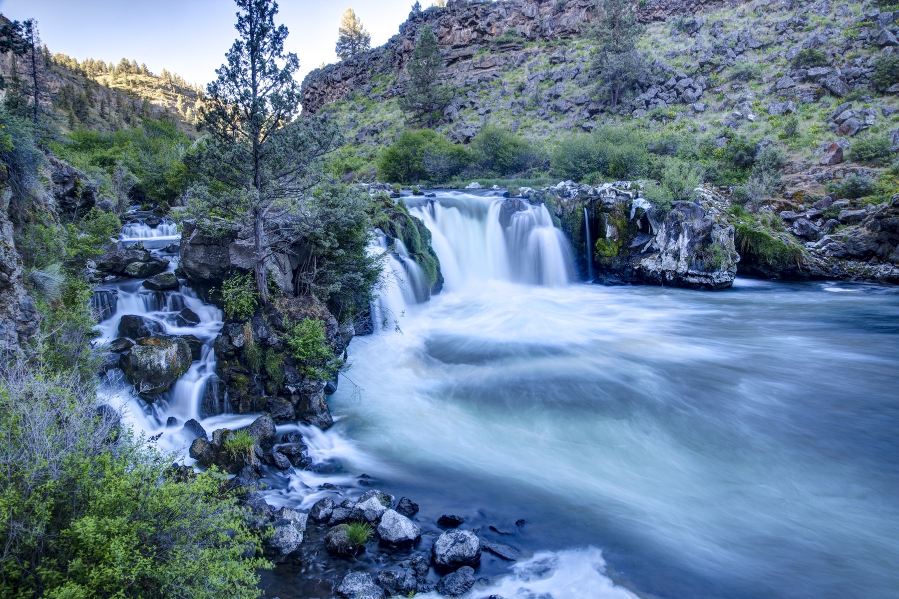
There is a pool beside the trail at Steelhead Falls. The Scout Camp trail is a short walk, and a hard one.
Public access to the river is good, but private property is mixed in with it, so watch where you are.
No campfires within half a mile of the river’s edge between June 1 and October 15, every year.
Dogs are welcome. Keep them on a leash, so they do not meet the wildlife.
Leave no trace.
The Steelhead Falls Trail runs through layers of colored volcanic rock. It is a walk through geological time.
The facts
- Cost
- Camping fee not confirmed
- Stay limit
- 14 days
- Type
- Open area. Camp anywhere within it
- Managed by
- Bureau of Land Management
Getting there
Steelhead Falls Trail: from Terrebonne, turn west on Lower Bridge Road and go 2.2 miles to NW 43rd St. Turn right and drive 1.8 miles to NW Chinook Drive. Turn left at the second cross street onto SW Badger Road and go 1.8 miles to SW Quail Drive, then another 1.2 miles. Turn left onto SW River Road and drive 1.0 mile to the trailhead.
Scout Camp Trail: from Terrebonne, turn west on Lower Bridge Road and go 2.2 miles to NW 43rd St. Turn right and drive 1.8 miles to NW Chinook Drive. Drive 2.4 miles and turn left onto Mustang Rd for another 0.2 miles. Turn right to stay on Mustang Rd for 0.5 miles. Turn right again to stay on Mustang Rd for 0.4 miles, then turn right onto SW Shad Rd. Drive 1.4 miles to SW Peninsula Drive and turn right. After another 3.2 miles turn left onto SW Meadow Rd, and after 0.6 miles turn right onto SW Scout Camp Trail. The trailhead is 0.3 miles on, at the end of the road.
Coordinates 44.36349, -121.25986
Open in Google Maps Agency page
What is near here
There are some well-known places within reach of this site.
- Peter Skene Ogden State Scenic Viewpoint Directions
- Mount Bachelor Directions
- Newberry Volcano Directions
- Mount Jefferson Directions
Every distance on this page is the driving distance. A short distance can still take a long time. The road may be closed for the season, covered in snow, or washed out. Many of these roads are dirt. Plan your route before you leave home. Out here there is often no phone signal to look it up on the way.
Nearest town and supplies
- Terrebonne, OR Directions
Terrebonne is big enough that you’d normally expect fuel and somewhere to buy food. Nobody from here has been to check, so don’t count on it if you’re running low.
Have you been here?
Fees and access change, and the records do not always keep up. If you have been, tell us what you found.
Thank you, that is recorded. It helps the next person.
Add road notes for this site
The thing we cannot get from any government record is what the drive in is actually like. If you have done it, this is the most useful thing you can leave behind. We read everything before it appears, and we print a first name with it if you give one.
Thank you. A person will read it before it goes on the page.
Where this information comes from
The description on this page is ours. The facts in it, and the fee and facility details below it, come from the Bureau of Land Management’s own records, read in August 2026.