About this place
The Bureau of Land Management looks after the Redfield Canyon Wilderness, 6,600 acres of southeastern Arizona.
It joined the National Wilderness Preservation System in 1990. That system was set up by the Wilderness Act of 1964.
Wilderness means hard walking and real solitude. Follow the rules for the area, and leave no trace, so it stays that way.
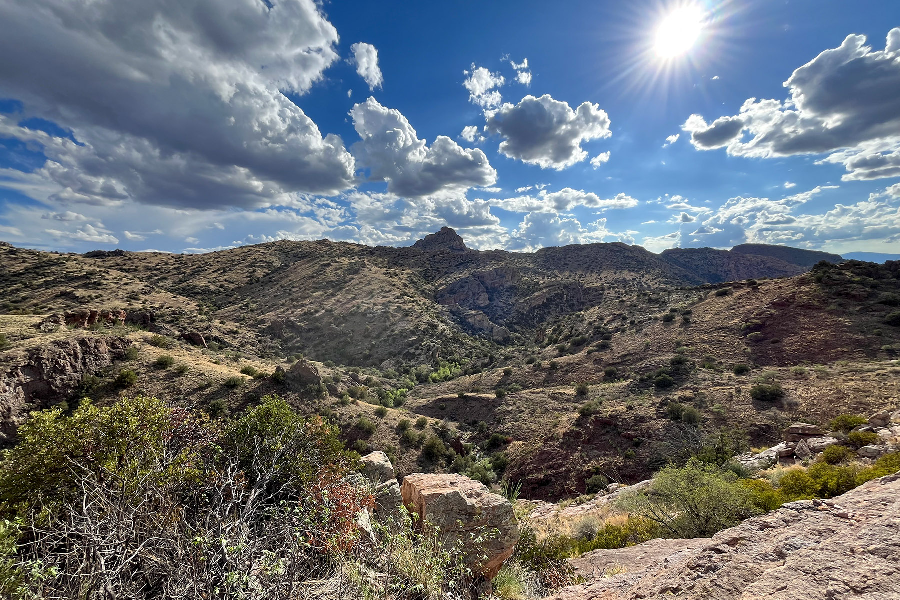
Tall cliffs stand over the canyon. They are pocked with eroded caves and strewn with boulders. Redfield Canyon itself is a narrow, red-walled chasm, and it is a fine walk in spring and fall.
Motors and machines are generally banned on any federal land designated as wilderness. That covers motor vehicles and off-highway vehicles, motorboats, bicycles, hang gliders, wagons, carts and portage wheels. Landing an aircraft or a helicopter counts too.
Ask the agency if you need more on the rules. The detail matters in a wilderness, and getting it wrong carries a penalty.
Get permission from the State Land Department, and from any private landowner, before you cross ground that does not belong to the public.
At the Muleshoe Ranch, you must sign in at The Nature Conservancy registration area before you carry on along Jackson Cabin Road.
The facts
- Cost
- Free to camp
- Roads around it
- Jackson Cabin Road, from the Muleshoe Ranch, is a four-wheel-drive road
- Type
- Open area. Camp anywhere within it
- Managed by
- Bureau of Land Management
Getting there
From Tucson, take Interstate 10 east to Benson, then go north along Pomerene Road to Redington. At Redington, turn right beyond the bridge. You need permission to cross the State Trust Lands and the private land at that point.
Another way is Interstate 10 to exit 340 at Willcox, then 32 miles to the Muleshoe Ranch. From the ranch, the four-wheel-drive Jackson Cabin Road runs north to the wilderness boundary.
Coordinates 32.441116, -110.300489
Open in Google Maps Agency page
Nearest town and supplies
- San Manuel, AZ Directions
San Manuel is big enough that you’d normally expect fuel and somewhere to buy food. Nobody from here has been to check, so don’t count on it if you’re running low.
Have you been here?
Fees and access change, and the records do not always keep up. If you have been, tell us what you found.
Thank you, that is recorded. It helps the next person.
Add road notes for this site
The thing we cannot get from any government record is what the drive in is actually like. If you have done it, this is the most useful thing you can leave behind. We read everything before it appears, and we print a first name with it if you give one.
Thank you. A person will read it before it goes on the page.
Where this information comes from
The description on this page is ours. The facts in it, and the fee and facility details below it, come from the Bureau of Land Management’s own records, read in August 2026; opened and read by a person on 2026-08-27.