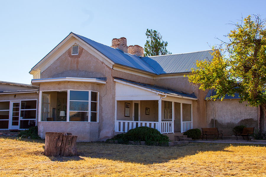
About this place
In a state where arroyos, washes and streambeds stay bone-dry most of the year, Cienega Creek runs all the time. That makes it valuable.
A green ribbon of vegetation follows it, and it is one of the most significant riparian zones in southern Arizona.
The creek is named for the cienegas, or marshes, that occur along its length. That kind of plant community has nearly vanished from the Southwest.
There is an audio tour of the Cienega Watershed, and you get it by downloading the free TravelStorys app to your phone.
The conservation area includes a working cattle ranch. Leave every gate as you found it.
Nobody collects trash here, so take everything home with you.
The area is a travel corridor for people crossing from Mexico without papers. Report anything you suspect is illegal to the Bureau of Land Management or the local police.
Avoid contact with anyone behaving strangely or doing anything dangerous.
The facts
- Cost
- Camping fee not confirmed
- Stay limit
- See the rules below
- Type
- Open area. Camp anywhere within it
- Managed by
- Bureau of Land Management
Rules and restrictions
How long you can stay
You can camp for 14 days in a row.
Keep at least 0.25 of a mile between your camp and any water hole used by cattle or wildlife.
Getting there
From Tucson, head east on Interstate 10, then south on state Route 83. The turnoff for the wildlife area is near milepost 40.
Coordinates 31.758, -110.673
Open in Google Maps Agency page
What is near here
This is a good base for somewhere people travel a long way to see.
- Saguaro National Park Directions
- Mount Wrightson Directions
- Mount Hopkins Directions
- Mount Lemmon Directions
Every distance on this page is the driving distance. A short distance can still take a long time. The road may be closed for the season, covered in snow, or washed out. Many of these roads are dirt. Plan your route before you leave home. Out here there is often no phone signal to look it up on the way.
Nearest town and supplies
- Sonoita, AZ Directions
- Corona de Tucson, AZ Directions
Corona de Tucson is big enough that you’d normally expect fuel and somewhere to buy food. Nobody from here has been to check, so don’t count on it if you’re running low.
Have you been here?
Fees and access change, and the records do not always keep up. If you have been, tell us what you found.
Thank you, that is recorded. It helps the next person.
Add road notes for this site
The thing we cannot get from any government record is what the drive in is actually like. If you have done it, this is the most useful thing you can leave behind. We read everything before it appears, and we print a first name with it if you give one.
Thank you. A person will read it before it goes on the page.
Where this information comes from
The description on this page is ours. The facts in it, and the fee and facility details below it, come from the Bureau of Land Management’s own records, read in August 2026.