About this place
This is Oregon’s Outback, and most people drive past it on their way to somewhere better known.
The Christmas Valley Back Country Byway runs 93 miles through high desert, and it reaches country and geology you will not see from the highway.
There are dunes to ride an off-highway vehicle on. The sand is mostly ash and pumice that blew in 7,000 years ago, when Mt. Mazama erupted.
There is an eroded volcano to walk in.
Check the weather and the road conditions before you set off. Bring maps for the area and a written route.
Carry a lot of water and enough fuel. Carry a spare tire, a jack, tools, a shovel and a blanket.
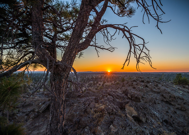
The Black Hills Interpretive Site is a popular place to start a day walk or take photographs. You reach it on foot or in a four-wheel drive. There is a parking area, fencing and an interpretive sign.
The facts
- Cost
- Free to camp
- Roads around it
- Check the weather and the road conditions first. Some of it needs four-wheel drive
- Stay limit
- 14 days
- Drinking water
- No, bring your own
- Type
- Open area. Camp anywhere within it
- Managed by
- Bureau of Land Management
Getting there
From La Pine, take Hwy 97 South for two miles, then turn left onto Hwy 31 South. Follow that 30 miles. The byway starts where Hwy 31 meets County Road 5-10.
Coordinates 43.115835, -120.861551
Open in Google Maps Agency page
What is near here
There are some well-known places within reach of this site.
- Hager Mountain Directions
- Summer Lake Directions
- Four Craters Lava Field Directions
- Newberry Volcano Directions
Every distance on this page is the driving distance. A short distance can still take a long time. The road may be closed for the season, covered in snow, or washed out. Many of these roads are dirt. Plan your route before you leave home. Out here there is often no phone signal to look it up on the way.
Nearest town and supplies
- Silver Lake, OR Directions
- La Pine, OR Directions
La Pine is big enough that you’d normally expect fuel and somewhere to buy food. Nobody from here has been to check, so don’t count on it if you’re running low.
Have you been here?
Fees and access change, and the records do not always keep up. If you have been, tell us what you found.
Thank you, that is recorded. It helps the next person.
Add road notes for this site
The thing we cannot get from any government record is what the drive in is actually like. If you have done it, this is the most useful thing you can leave behind. We read everything before it appears, and we print a first name with it if you give one.
Thank you. A person will read it before it goes on the page.
Where this information comes from
The description on this page is ours. The facts in it, and the fee and facility details below it, come from the Bureau of Land Management’s own records, read in August 2026; opened and read by a person on 2026-08-27.