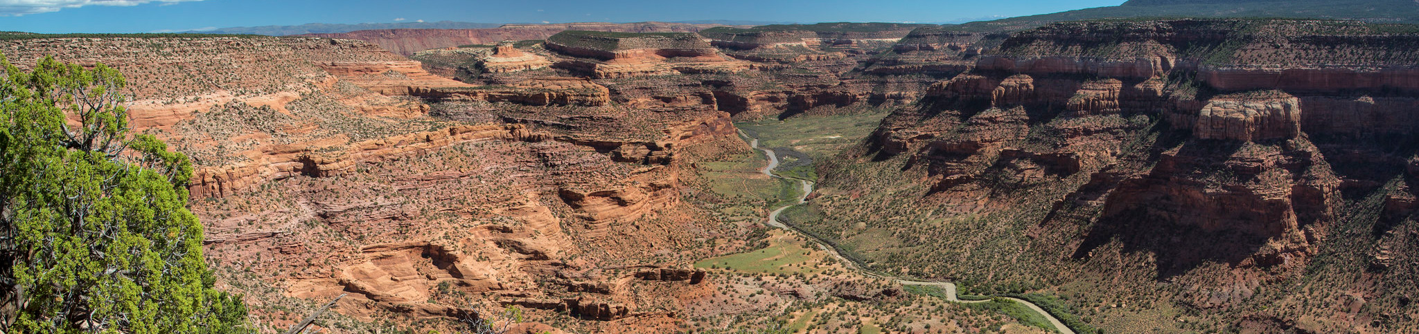
About this place
The Utah section of the Dolores River has technical rapids, fine scenery, wildlife, side-canyon walking and camping.
You need a permit all year for any private, non-commercial trip on the Lower Dolores. There is no cap.
Permits come available from January 1st each year, through Recreation.gov.
One permit covers a group of 1 to 25 people floating the Lower Dolores.
The boating season here is very short, erratic, and often does not happen at all. Flows usually peak between late April and early May.
The suggested minimum flows are 200 CFS for canoes, pack rafts and kayaks, and 800 CFS for rafts under 14 feet. Rafts over 14 feet want 1,000 CFS.
Rapids run from class I to class IV.
The hardest one sits near the Utah and Colorado state line. Stateline Rapid is a mile-long rock garden, and it needs careful scouting from river right and quick work at every water level.
Get it wrong and you are in for a very long and dangerous swim. Many groups put in below it instead.
The Bureau of Land Management publishes a map of the river.
Bring enough drinking water. The Dolores and its tributaries are not fit to drink.
Land ownership along the river is mixed, so respect the private landowners.
For the Colorado stretch, ask the Tres Rios Field Office. Private trips need no permit there.
The Dolores Water Conservancy District website has more on stream flows.
The facts
- Cost
- Camping fee not confirmed
- Drinking water
- No, bring your own. The Dolores and its tributaries are unfit for drinking
- Type
- Specific campsite
- Managed by
- Bureau of Land Management
Getting there
The Dolores River joins the Colorado just upstream of Dewey Bridge, on Utah Highway 128.
Coordinates 38.679984, -108.979877
Open in Google Maps Agency page
What is near here
Nothing is close to this one. Everything below is a long drive away, and each line says how far.
- Arches National Park Directions
- Delicate Arch Directions
- Landscape Arch Directions
- Dead Horse Point State Park Directions
Every distance on this page is the driving distance. A short distance can still take a long time. The road may be closed for the season, covered in snow, or washed out. Many of these roads are dirt. Plan your route before you leave home. Out here there is often no phone signal to look it up on the way.
Nearest town and supplies
- Castle Valley, UT Directions
- Moab, UT Directions
Moab is big enough that you’d normally expect fuel and somewhere to buy food. Nobody from here has been to check, so don’t count on it if you’re running low.
Have you been here?
Fees and access change, and the records do not always keep up. If you have been, tell us what you found.
Thank you, that is recorded. It helps the next person.
Add road notes for this site
The thing we cannot get from any government record is what the drive in is actually like. If you have done it, this is the most useful thing you can leave behind. We read everything before it appears, and we print a first name with it if you give one.
Thank you. A person will read it before it goes on the page.
Where this information comes from
The description on this page is ours. The facts in it, and the fee and facility details below it, come from the Bureau of Land Management’s own records, read in August 2026.