About this place
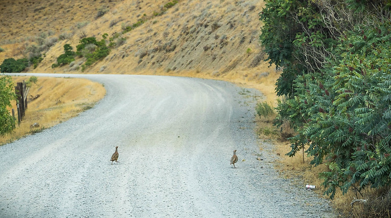
This byway runs 150 miles through the rangelands of Baker and Malheur counties, in eastern Oregon. It is quiet, farmed country for most of its length.
A high-clearance two-wheel drive vehicle will do it.
The land here rises and falls hard. There are steep canyons, prominent cliffs and massive outcrops of rock.
Above Brownlee Reservoir, the Snake River Canyon puts on a show of color. The big basalt outcrops over the Snake River Road are the ones to watch.
Where that road reaches the reservoir the rock changes. From there down to the old hamlet of Huntington it is mostly metamorphic and sedimentary stone.
In spring the high hills turn a soft light green and fill with wildflowers.
There are sagebrush plateaus, and thick green growth along the waterways.
Old wagon roads cross this country. People ranched here, mined, logged and homesteaded, mostly in the late 1800s.
The surface changes as you go. Some of it is paved, some gravel, some bare earth, and all of it is remote.
Plan carefully if the weather has just turned, and plan harder in winter.
There is plenty to stop for along the way:
- the play area at the Virtue Flats off-road vehicle area
- fishing, boating, swimming and water-skiing on Brownlee Reservoir
- photographing wildflowers in the Snake River Breaks
- horseback riding in Rye Valley
- rafting the Powder River
Near the National Historic Oregon Trail Interpretive Center you can still see the wagon ruts of the Oregon Trail. They sit partly on public ground and partly on private, and both owners are working to keep them there. Respect private property the whole way along the byway.
Allow five hours of driving at the very least, and that is before you stop for anything.
These canyons and draws once hid outlaws, and the Idaho side was the wilder of the two.
A man could row across the Snake, hole up in a cabin in an Idaho canyon and be out of reach of the Oregon lawmen.
Moonshiners were left alone. Locals did not count moonshining or bootlegging as a crime. There were counterfeiters working the draws as well.
The facts
- Cost
- Free to camp
- Roads around it
- A high clearance two-wheel drive will do it. Paved, gravel and bare earth by turns
- Stay limit
- 14 days
- Type
- Open area. Camp anywhere within it
- Managed by
- Bureau of Land Management
Getting there
Start at Baker City, Oregon. Follow the byway from there.
Coordinates 44.810983, -117.743587
Open in Google Maps Agency page
What is near here
Nothing nationally famous is close. These are the landmarks nearby.
- Mount Ireland Directions
Every distance on this page is the driving distance. A short distance can still take a long time. The road may be closed for the season, covered in snow, or washed out. Many of these roads are dirt. Plan your route before you leave home. Out here there is often no phone signal to look it up on the way.
Nearest town and supplies
- Baker City, OR Directions
Baker City is big enough that you’d normally expect fuel and somewhere to buy food. Nobody from here has been to check, so don’t count on it if you’re running low.
Have you been here?
Fees and access change, and the records do not always keep up. If you have been, tell us what you found.
Thank you, that is recorded. It helps the next person.
Add road notes for this site
The thing we cannot get from any government record is what the drive in is actually like. If you have done it, this is the most useful thing you can leave behind. We read everything before it appears, and we print a first name with it if you give one.
Thank you. A person will read it before it goes on the page.
Where this information comes from
The description on this page is ours. The facts in it, and the fee and facility details below it, come from the Bureau of Land Management’s own records, read in August 2026.